
🛰️
DGPS Survey Work
Differential GPS instrument survey with high positional accuracy for revenue lands, agricultural land and large parcels.
ಶ್ರೀ ಹರಿ ಕನ್ಸಲ್ಟನ್ಸಿ
Sree Hari Consultancy
Chitradurga, Karnataka · Land Survey Consultancy
Instrument based DGPS survey work for revenue lands boundary and drawings, boundary fixing, contour leveling survey, layout marking and AutoCAD drawings.


Our surveyor
Government Licensed Surveyor · Proprietor, Sree Hari Consultancy, Chitradurga
Every survey is carried out personally by Thippeswamy, a government licensed surveyor with 25+ years of field experience in revenue land survey work across Chitradurga district. From reading old tippan and revenue records to operating DGPS and auto level instruments, the entire job is handled by a qualified hand, not by untrained helpers.
This is why land owners, farmers, advocates, builders and layout promoters rely on our measurements for sale deeds, khata work, partition, court matters and layout approvals.
What we do
End to end survey support for farmers, land owners, builders, developers and layout promoters.
Differential GPS instrument survey with high positional accuracy for revenue lands, agricultural land and large parcels.
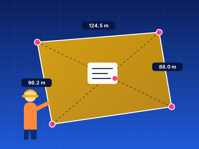
Revenue land boundary identification, corner point fixing on ground and preparation of measured boundary drawings.
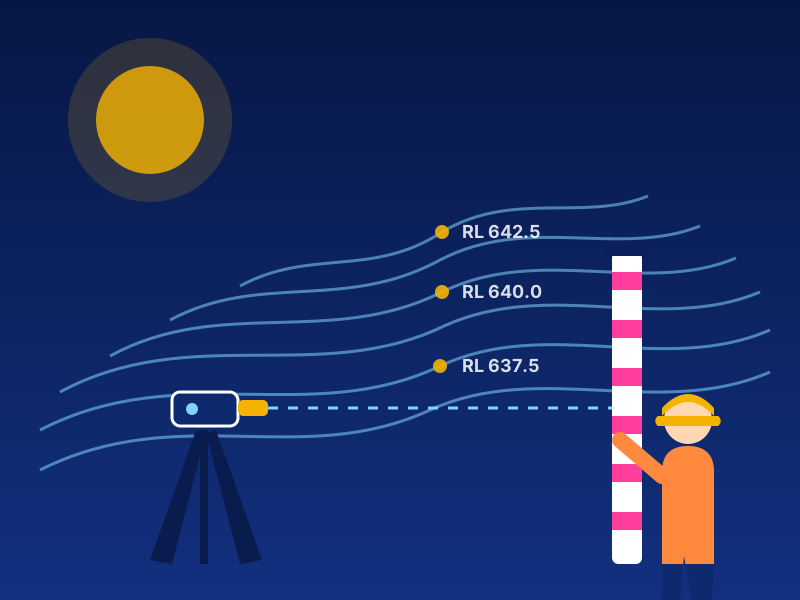
Spot levels and contour maps for site development, drainage planning, cut and fill estimation and road formation.
Residential and commercial layout planning with site plans, road network, plot division and area statements.
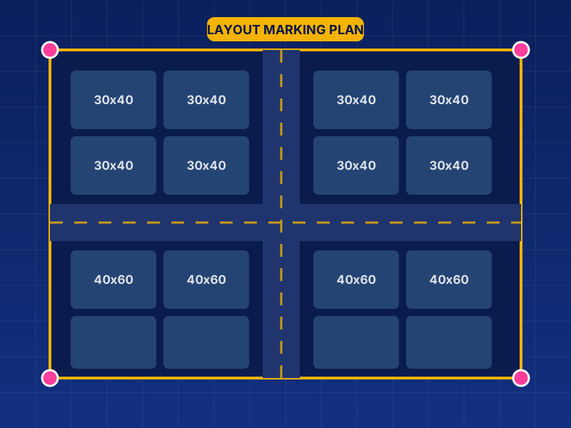
On-ground marking of plots, roads, corners and building lines exactly as per the approved layout drawing.
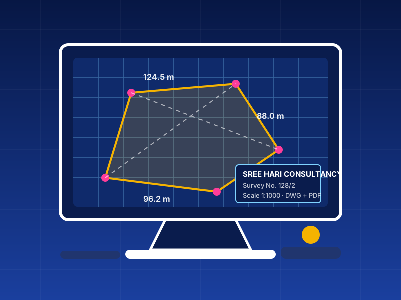
Digital drafting of survey data into clean AutoCAD drawings, delivered in DWG and PDF formats.
Our work
Instrument survey, boundary marking and drawing work carried out by our surveyors across Chitradurga district.

How it works
Call or WhatsApp us with survey number, village and the type of work required.
We verify revenue records, tippan and sketches before visiting the site.
DGPS and leveling instrument survey, boundary fixing and marking on ground.
Final AutoCAD drawing, contour map and area statement handed over to you.
Our equipment
Every measurement is taken with satellite based DGPS equipment, giving centimetre level accuracy that holds up for sale deeds, khata, partition and court matters.

Base receiver on tribrach and tripod with a rover pole, correcting every point in real time.
Centimetre accuracy
Boundary corners, survey numbers and site features picked up directly on ground from satellite signals.
Live satellite fix
Points recorded and plotted on the controller, then converted into AutoCAD drawings in DWG and PDF.
DWG + PDF outputDGPS stands for Differential Global Positioning System. A plain GPS phone or handheld unit finds a position from satellites alone and can be wrong by several metres. In a DGPS setup two receivers work together: a base station is fixed over a known point and a rover is carried to each corner of the land. The base constantly measures the satellite error at that spot and sends a correction to the rover, so every point the rover records is corrected in real time.
The result is a position accurate to a few centimetres instead of a few metres, with every corner stored with its coordinates on the data controller and later drawn in AutoCAD.
Price list
Charges are fixed by the land extent, as per the slabs below. Rates are for survey work in and around Chitradurga using DGPS instruments.
minimum ₹12,000 / 10 guntas to 4 acre
minimum ₹15,000 / 10 guntas to 4 acre
minimum ₹12,000 / 10 guntas to 4 acre
| Land extent | Slab | Charge | |
|---|---|---|---|
| 10 guntas to 4 acre | Minimum charge | ₹12,000 | |
| 4 acre to 15 acre | Slab 2 | ₹15,000 | |
| 15 acre to 25 acre | Slab 3 | ₹20,000 | |
| 25 acre to 40 acre | Slab 4 | ₹30,000 | |
| 40 acre to 60 acre | Slab 5 | ₹45,000 |
| Land extent | Slab | Charge | |
|---|---|---|---|
| 10 guntas to 4 acre | Minimum charge | ₹15,000 | |
| 4 acre to 8 acre | Slab 2 | ₹20,000 | |
| 8 acre to 15 acre | Slab 3 | ₹30,000 | |
| 15 acre to 25 acre | Slab 4 | ₹45,000 | |
| 25 acre to 40 acre | Slab 5 | ₹60,000 |
| Land extent | Slab | Charge | |
|---|---|---|---|
| 10 guntas to 4 acre | Minimum charge | ₹12,000 | |
| Above 4 acre | Per extra acre | ₹3,000 |
* Travel charges apply outside Chitradurga city limits. GST extra where applicable. For extents above the last slab, please call for a quote.
About us
Sree Hari Consultancy provides instrument based survey services for revenue lands, layouts and construction sites. Our work covers boundary fixing and drawings, contour leveling survey, layout planning and marking, and AutoCAD drafting.
We serve land owners, farmers, advocates, builders and developers across Chitradurga district, with accurate field measurements and clear documentation you can rely on.
Get in touch